OpenRoads Designer Standards
The OpenRoads Designer Standards section is used to create, edit or review horizontal and vertical geometry design standards, feature information, civil cells, annotation, and graphical filters.
Standards stored in dgnlibs are displayed in gray (view only), while standards used in the active file are in blue (editable). When a standard from a dgnlib is used in the active file, it is copied into the active file section.

- Right-clicking a category - You can select a menu item from the pop-up menu to perform actions on the standards. For example, if you right-click the Feature Definitions category you Properties, Zoom, Isolate, Clear Isolate. These options are the same for all categories.
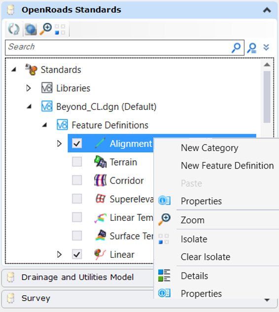
- Right-clicking a category within a category - You can select a (sub)category from the pop-up menu to perform actions on the selected category. For example, if you right-click Alignment within the Feature Definitions category you see New Category, New Feature Definition, Properties, Zoom, Isolate, and Clear Isolate. These options are the same for all (sub)categories within all categories.
- Right-clicking an item - When you right-click an item in any category you see utility tools related to the items. For example, if you right-click an AlignmentPointAlongAnnotation, the pop-up menu contains Cut, Copy, Rename, Delete, Properties, Zoom, Isolate, and Clear Isolate. These options are the same for all items in all categories.
- Double-clicking a category or (sub)category - Expands or collapses the category or subcategory.


The following categories are built in and cannot be changed. Additional categories at this hierarchical level are not supported. Subcategories are supported and can be nested. Items can also be added beneath any category.
|
Category |
Description |
|
Contains features which have |
|
|
Used in conjunction with feature definitions, stores |
|
|
Contains groups which are each a collection of annotation definitions. |
|
|
Contains individual annotation defitions |
|
|
Contains civil cells from DGNlibs and active file. |
|
|
Contains horizontal and vertical geometry design standards. |
|
|
Contains graphical terrain filters created in the Graphical Terrain Filter Manager. |
|
|
(Future) Contains Survey settings. |