Performing an AEC Transform
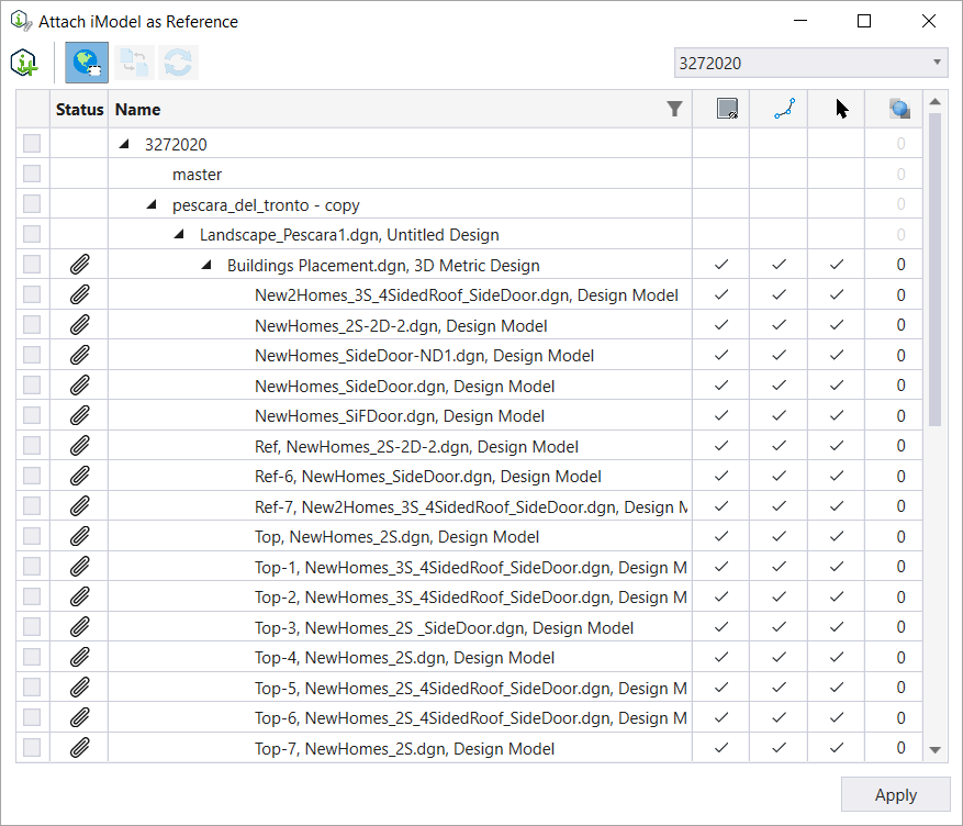
When data in a model uses a Geographic Coordinate System, MicroStation can easily reference data that is also geographically aware into the model. While attaching an iModel, in MicroStation, if both the reference iModel and the active model have a GCS, the Attach iModel as Reference dialog enables the AEC Transform icon.
With an AEC transform, MicroStation calculates the linear transformation to give the best approximation to the results. The approximation is acceptable for smaller-scale data, such as most man-made structures that occupy less than a square kilometer.
Current iModel attachments do not recognize project North rotations. If there is a project North setup then the attached iModel can be aligned to the project north instead of True North using an AEC Transform during attachment.
Without an AEC Transform the iModel will not be referenced with the correct geolocation and the orientation of the iModel reference will be Coincident.