GIS Editor Overview
GIS Editor can be accessed by
,
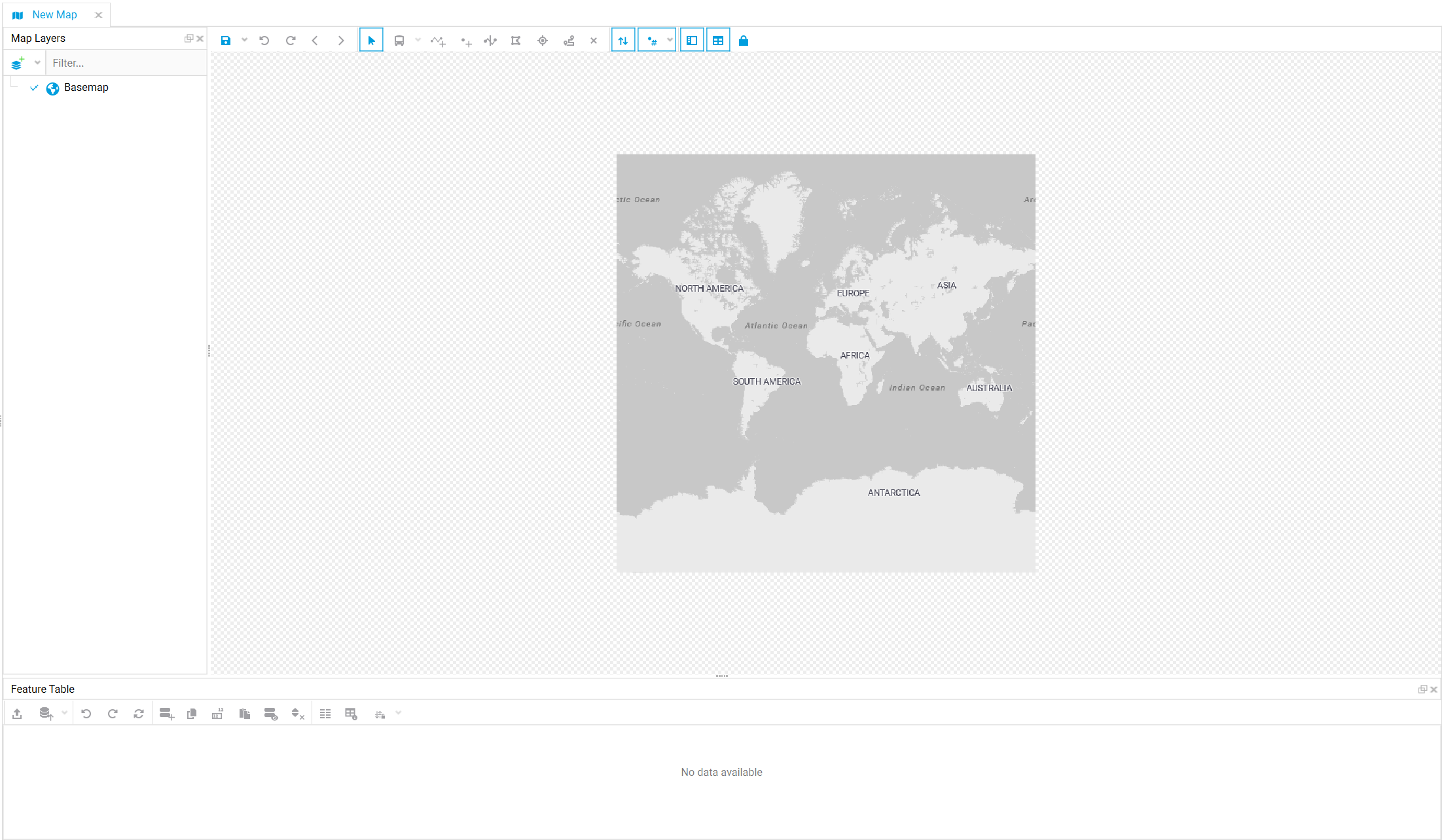
which will open a new empty map tab where you can start adding and editing
layers. By default the
Basemap layer (Bing map) will be
automatically loaded and can be modified as described in the
Adding
base maps tutorial.
CUBE GIS Editor supports having multiple layers, which can be added through the Add layers option in Map Layers section or by simply dragging and dropping files to open the file contents, select the layers and visualize them in map.
When a geospatial layer is opened and selected in Map Layers section, it is possible to individually select the different features in map, by clicking on them, which will load the feature's attributes values in Feature Table. Similarly you can access the entire layer's data in tabular format by right-clicking in layer in Map Layers and selecting the Open as table option which will open the data in a separate Table Editor tab
Customizing a map involves adjusting the symbology and adding labels for the different layers, which can be done through Layer Properties window. Check the Symbols and Labels tutorial for a guide through how to add these. In the case of CUBE database networks, it is also possible to use lua expressions to set up variables and conditions using some network functions and expressions . All these customizations can then be saved as a .cube-map file.
For CUBE database highway networks additional GIS rendering and editing features are available like, shortest path layers, trip distribution maps, charting zone data among other capabilities.