Global Positioning System Dialog, Status Tab
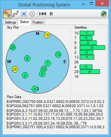
Displays a graphical representation of the GPS satellites within reception range, their sky position, and signal strength.
| Setting | Description |
|---|---|
| Sky Plot | Displays the sky position of the GPS satellites within reception range. |
| Satellites | Displays satellite information. Green satellites represent those used in the GPS position correction; yellow ones are not. Satellite numbers are assigned by the U.S. government. 1 through 32 are primary GPS satellites and 33 through 51 are WAAS (Wide Area Augmentation System) satellites that transmit corrections calculated by ground-based receiver stations. |
| Raw Data | Displays the raw NMEA strings received from the GPS device, typically used for diagnostic purposes. |